JIS University JIS University

Welcome to Department of Earth Sensing & Remote Sensing

Approved by University Grant Commission (UGC)

About the Department

The Department of Earth Sciences and Remote Sensing is an interdisciplinary Department, providing the degree of M.Sc. in Remote Sensing & GIS. There is also provision for Ph.D. and Research in Project Work. The objective of the department is to be a center of excellence in the field of Geo-spatial Technology and Earth Sciences to match the needs of ever-increasing requirement of human resources in these fields and to cater to the larger interest of the Society and Nation. Besides, as the mission this department is maintaining the state-of-the-art in research and outreach facilities in phase with the premier institutions for sustained improvement in the quality of academics and research.

Vision

The vision of the department is to provide an outstanding education which enable students to discover and develop relevant knowledge and skillsets to face the challenges of our nation and world and to prepare them for successful careers so they can create, innovate, and lead the geosciences into the future.


Mission
  • M1: To Impart quality education and equip the students with strong foundation that could make them capable of handling challenges of the ever-advancing geosciences technologies.
  • M2: To Maintain state-of-the-art in research and outreach facilities in phase with the premier institutions for sustained improvement in the quality of education and research.
M.Sc. in Remote Sensing and GIS

Level: Post Graduate

Duration: 2 Years

Eligibility: Students must have the degree of B.Sc. with at least 50%* marks in Electronics / Physics / Mathematics / Geography / Geology / Applied Geology / Geo Physics / Geo Informatics / Oceanography / Environmental Science and Equivalent degree (OR) B.E. / B. Tech in ECE / EE / Civil / Geo Informatics / CSE / Agriculture Engineering / Urban & Regional Planning / IT (OR) B.Sc., Agriculture/ Forestry / Horticulture (4 years). Mathematics in (10+2) level is compulsory. (OR) B.A in Geography.

PhD in Science

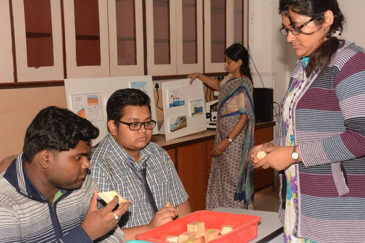
  • Up-to-date academic infrastructure, well equipped digital library, Smart Class Rooms and air-conditioned Auditorium, which is equipped with latest audio-visual systems along with interactive presentation panels for good ambience for various research interaction sessions.
  • Students can gain the knowledge and practical skills to analyze geospatial data from Remote Sensing technology as per modern research and industrial demand.
  • Constant effort of faculties to train students for facing the ever-increasing industrial demands and placement.
  • Placement assurance.
  • Opportunities to interact with students, academicians and researchers of premier National and International Institutes like IITs, IISER, ISI, ISRO, TIFR.
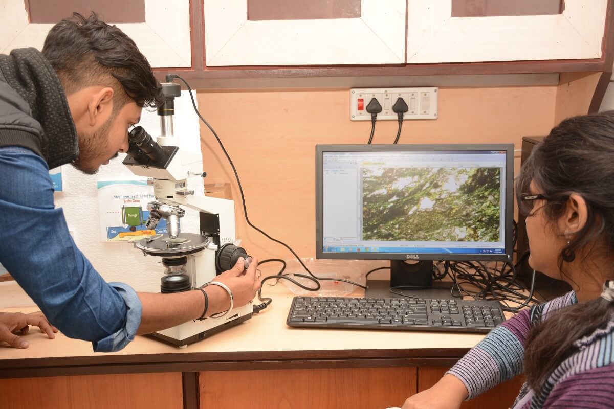
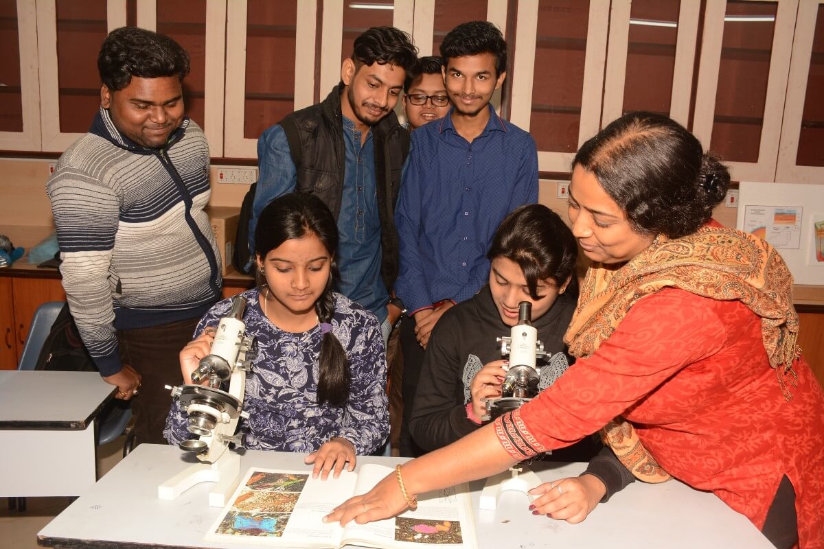
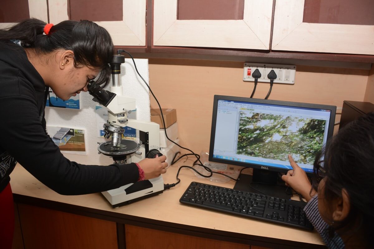
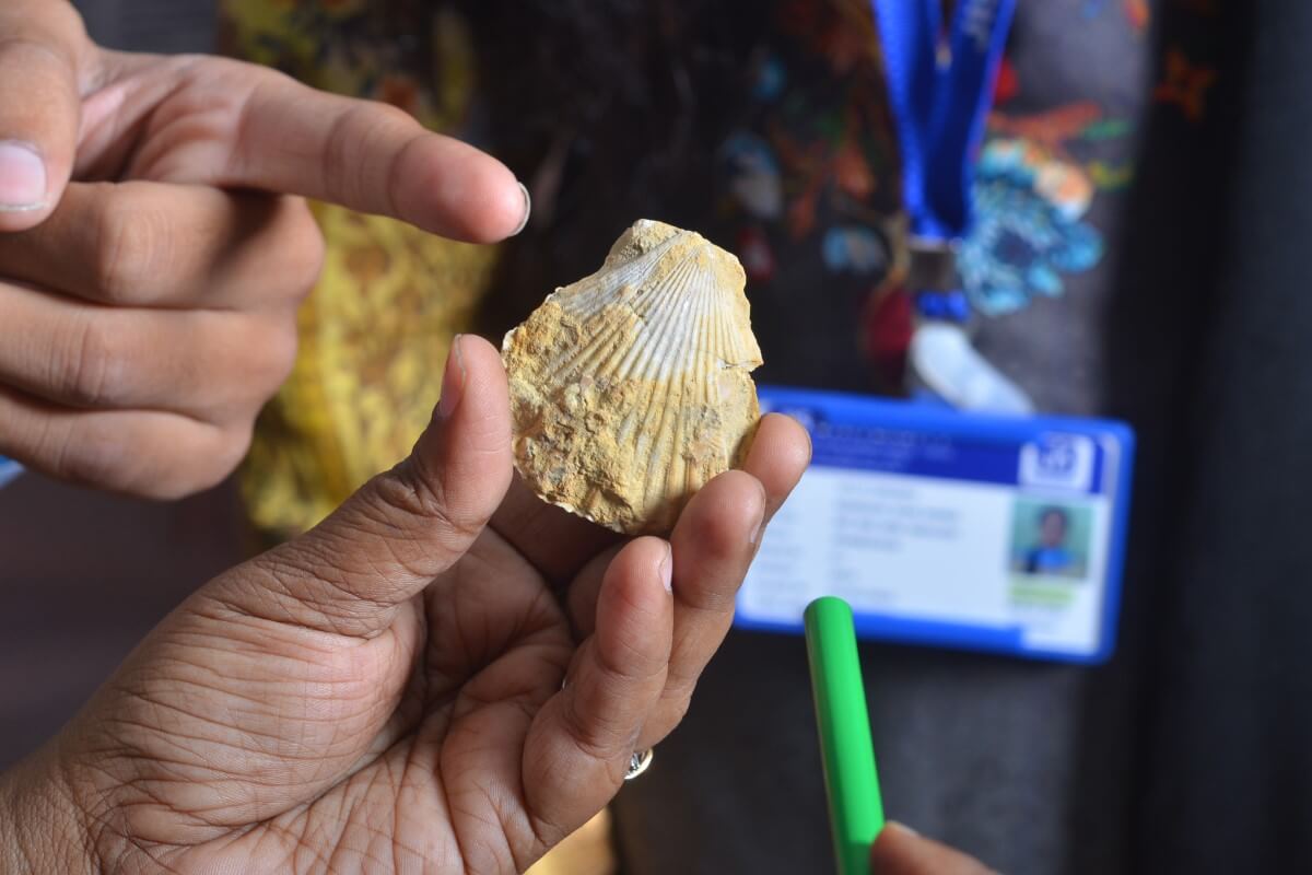
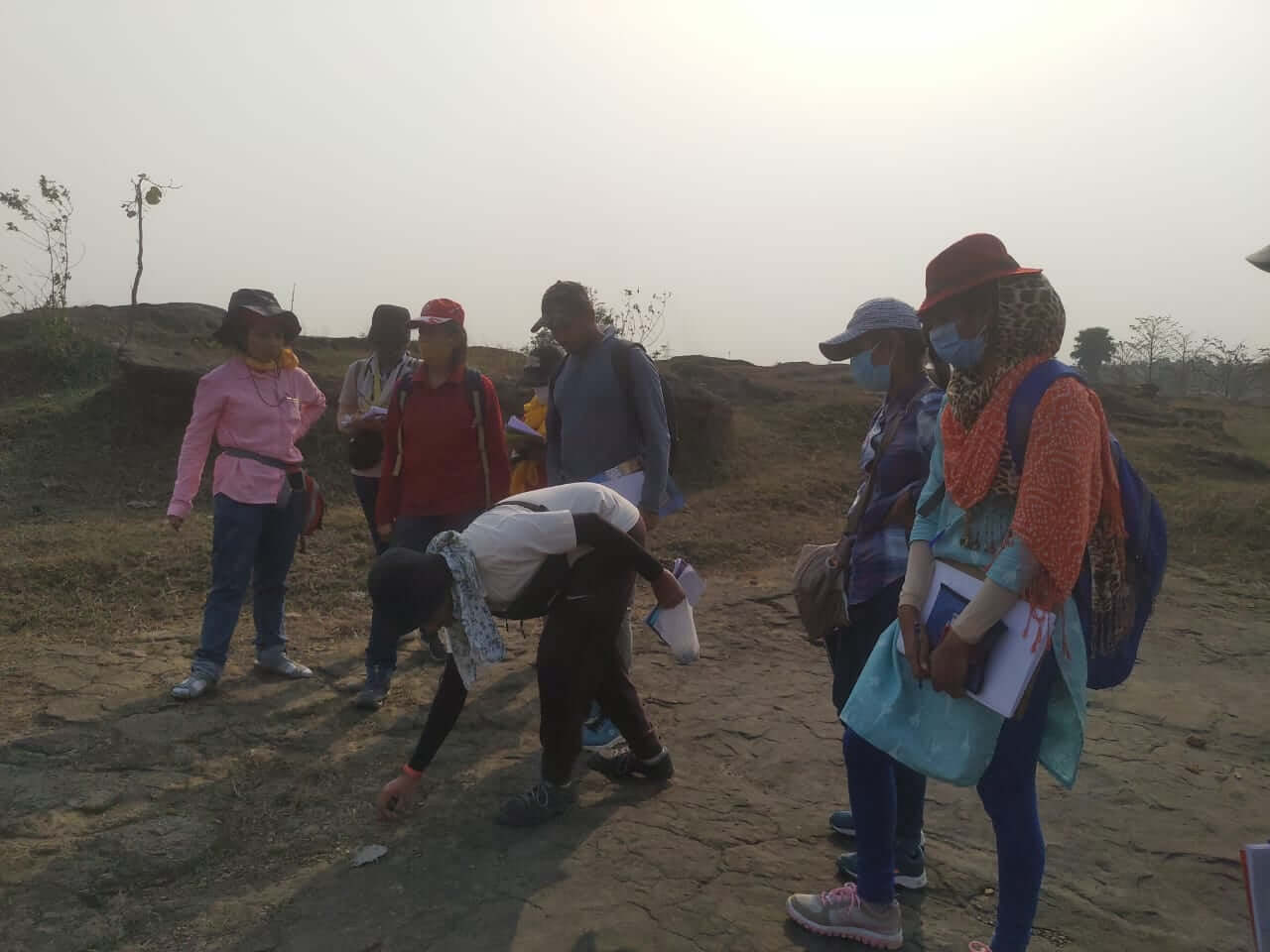
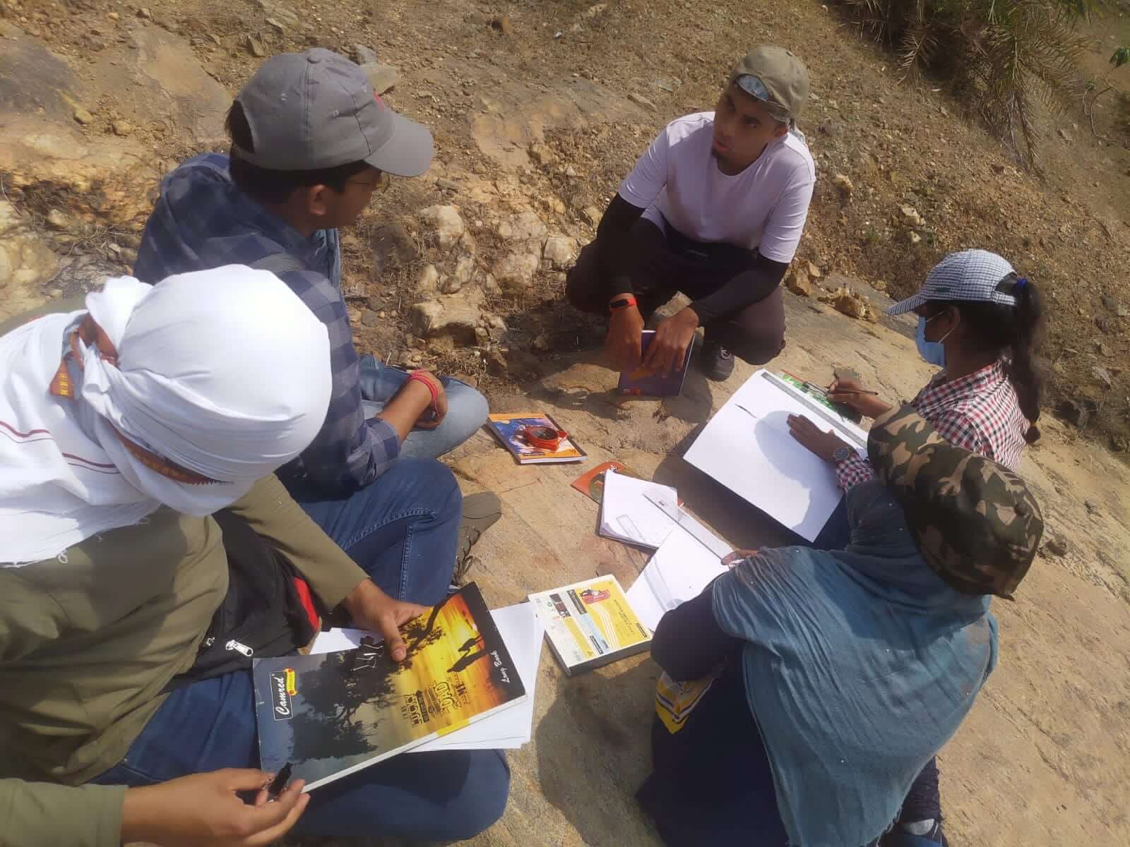
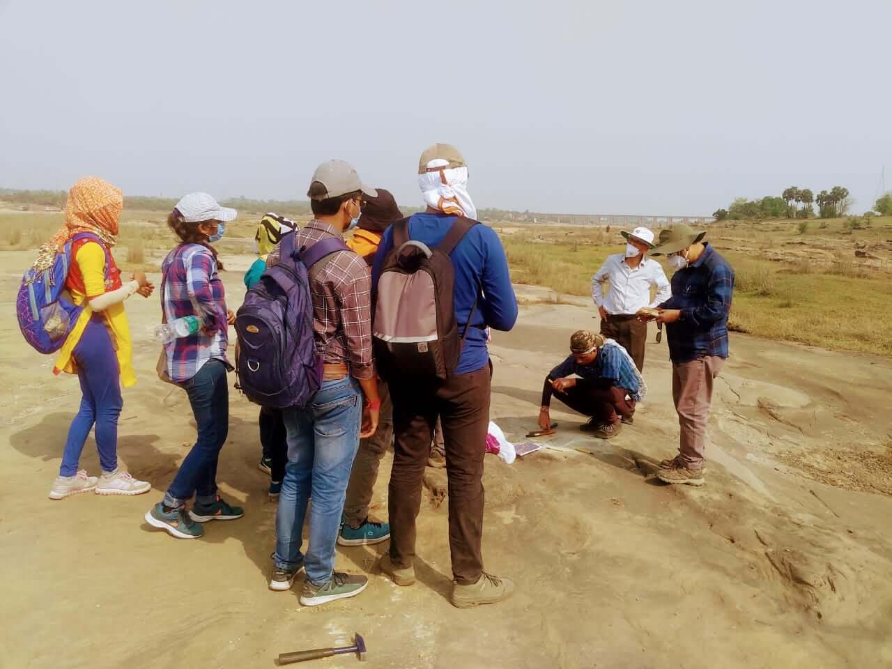
  • For the students of Earth Sciences Palaeontology Laboratory, Petrology and Mineralogy Laboratory, equipped with exquisite fossil specimens, rock and mineral specimens and Petrologic Microscopes and a thin section preparation unit. Besides there is a thin section preparation laboratory where rock samples collected from geological field work are processed and made ready for observation and study under the microscope.
  • For the students of Remote Sensing there is a unique course structure having the provision to learn Modern Geospatial technologies like Google Earth Engine (GEE), Internet GIS, Big data analysis etc. and dealing with advanced Remote Sensing data like LIDAR and SAR data, Hyperspectral data, UAV data etc. Besides there are well equipped integrated digital laboratories along with advanced geospatial software and digital database..

Earth Sciences

Remote Sensing and GIS


Earth Sciences can make students fit for

  • Assistant / Senior Geologist
  • Consulting Geologist
  • Meteorologist
  • Mud logger
  • Environmental Consultant.
  • Remote Sensing Specialist.
  • Groundwater Specialist.
  • Mining Engineer.
  • Environmental Scientist.
  • Marine Geologist.


Remote Sensing and GIS can make students fit for

  • Remote Sensing Tech Lead
  • Project Fellow/Project Assistant,
  • Educator / Academician
  • Technical Associate / Technical Manager
  • GIS Executive / GIS Engineer
  • Research Associate / Scientist
  • Remote Sensing & GIS Software Analyst
  • Remote Sensing & GIS Technical Program Manager
  • Remote Sensing / GIS specialist
  • Remote Sensing Data Analyst

Environmental Science & Sustainable Development can make students fit for:

  • Directorate of Waste Management
  • Pollution Control Board Research Scientist
  • Environmental Scientist
  • Environmental Consultant
  • Academician
  • Conservation Hydrologist
  • Environmental Journalists
  • Environmental Photographer

The department is committed to adhering to the highest standards of research integrity and ethics The department provides a supportive environment for researchers who can make use of resources found both within the University and the department. The department has several long-term collaborations with international research groups and universities in Germany, Switzerland, Norway, United Kingdom, Canada, USA, China etc.

Thrust area of Research:

Environmental Earth Science, Surface and Groundwater, Environmental Impact Assessment, Shale Hydrocarbon Exploration, Processing and Interpreting Subsurface Geophysical Data for Hydrocarbon Exploration, Environmental Impact for Shale Hydrocarbon Exploitation, Application of Machine Learning in Exploration of Hydrocarbon and Geothermal Energy, Applied Geomorphology, Applied Sedimentology, Basin Analysis, Tectonics and its Application etc.

Digital Image Processing, Natural Hazards and Disasters Assessment, Glacier Climate Interaction, Glacier Mass Balance, Glacier Dynamics, Climate Change, Assessment and Management of Natural Resources, Watershed Delineation and Water Resource Management, Application of Remote Sensing in Archeology, Application of Remote Sensing in floristic environment etc.

Selected Research Publications

  • Bhattacharya, A., Bolch, T., Mukherjee, K., King, O., Menounos, B., Kapitsa, V., Neckel, N., Yang, W. and Yao, T. (2021). High Mountain Asian Glacier Response to Climate Revealed by Multi-temporal Satellite observations since the 1960s. Nature Communications, 12, 4133.
  • Allen, S.K., Sattar, A., King, O., Zhang, G., Bhattacharya, A., Yao, T. and Bolch T. Glacial Lake outburst flood hazard under current and future conditions: first insight from a transboundary Himalayan basin. Natural Hazards & Earth System Science Discussions, doi.: https://doi.org/10.5194/nhess-2021-167.
  • King, O., Bhattacharya, A. and Bolch, T. (2021). The presence and influence of glacier surging around the Geladandong Ice Caps, North East Tibetan Plateau. Advances in Climate Change Research, 12(3), 299-312.
  • Kneib, M., Miles, E., Buri P, Jola, S., Herreid, S., Bhattacharya, A., Watson, S., Bolch, T., Quincey, D. and Pellicciotti, F. (2021). Mapping ice cliffs on debris-covered glaciers using multispectral satellite images. Remote Sensing of Environment, 253, 112201.
  • King, O., Bhattacharya, A., Bolch, T., Ghuffar S, Tait A, Guilford S, Elmore AC (2020). Six decades of glacier mass changes around Mt. Everest are revealed by historical and contemporary images. One Earth, 3 (5), 608-620.
  • King, O., Bhattacharya, A., Bhambri, R. and Bolch, T. (2019). Glacier lake expansion exacerbates Himalayan glacier mass loss. Nature Scientific Report, 9 (18145).
  • De, S. and Sengupta, D. (2021). An Advanced Well Log and an Effective Methodology to Evaluate Water Saturation of the Organic-Rich Cambay Shale. Natural Resources Research, 30(2), 1719-1733.
  • De, S. and Sengupta, D. (2021). Evaluating the geomechanical properties of Cambay Shale, Cambay Basin, India using advanced wireline logs for shale hydrocarbon exploration. Petroleum Science and Technology, 39(11-12), 392-409.
  • Chakraborty, S., Sanyal, P. and Ray R. Wetlands Ecology - Eco-biological uniqueness of a Ramsar site (East Kolkata Wetlands, West Bengal, India). Springer Nature Switzerland (Article in press).
  • Basu, E. and Salui, C.L. (2021). Estimating Particulate Matter Concentrations from MODIS AOD Considering Meteorological Parameters Using Random Forest Algorithm. Spatial Modeling and Assessment of Environmental Contaminants. Environmental Challenges and Solutions. Springer, 591-609.
  • Basu, E. and Salui, C.L. (2021). Artificial Neural Network for Identification of Groundwater Potential Zones in Part of Hugli District, West Bengal, India. Groundwater and Society, Springer, Cham, 247-257.
  • Biswas, A. and Salui C.L. (2021). Change analysis of biophysical parameters of mangrove forests over Indian Sundarbans using geospatial techniques: A special emphasis on Leaf Area Index and Percentage Canopy Cover, Sundarbans Mangrove Systems: A Geo-Informatics Approach. CRC Press, Taylor Francis, 125-144.
To Top
Whatsapp
Apply Now